(01) 123-456-7890
info@website.com
September 2025 - South of the Smokies Special
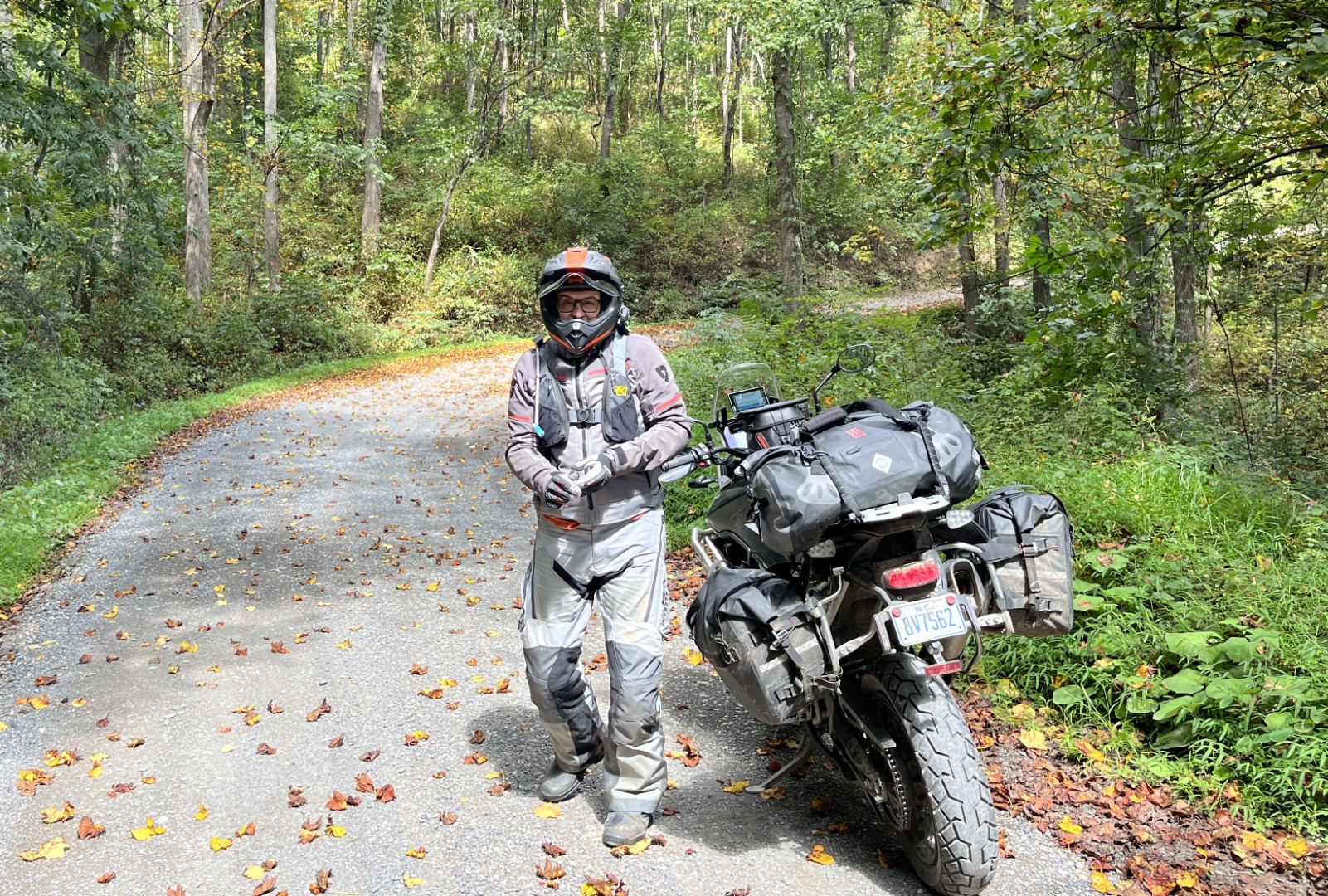
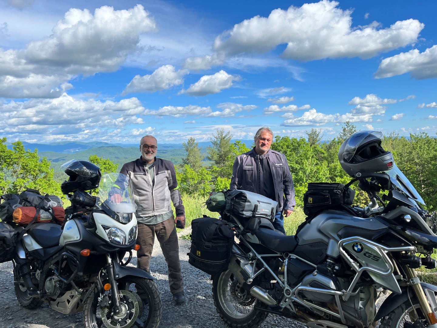
Four riders gathered midday on a beautiful sunny fall Friday to begin a four-day tour of the beautiful riding area south of the Smokey Mountains. Larry, BobK, Mel and Dave (yes, that one, live from the N Carolina coast!) met in Ball Ground and headed to McCaysville the fast way, then took a brief respite at Buck Bald Brewing in Copperhill on the TN state line. From there it was easy going west along the Ocoee river, then north thru Reliance to the Cherohala Mountain Trails Campground just west of Tellico Plains. We call it the “back way to Tellico” and simply can’t overrate what a beautiful ride along one of TN’s most twisty, yet empty, back roads. As Dave said… more twisties than he’s seen in the prior year! After setting up tents at CMTC, the guys rode the few miles into Tellico Plains for dinner at Senor Lopez and enjoyed an outstanding Mexican dinner. Then back to CMTC and a short campfire before bed.
October 2024 - Barbertastic!

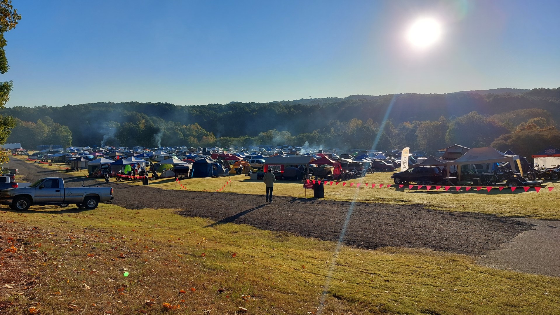
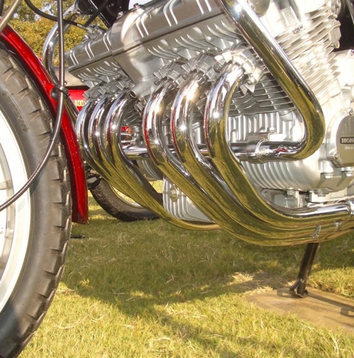
The one word I could come up with to describe our trip to the Barber Vintage Motorcycle Festival in early October – Barbertastic! Ok, not a real word, but you get the idea. Outside of avid motorcyclists, few know the world’s largest and best motorcycle museum is just to our west in Leeds, AL (a NE suburb to Birmingham). On nearly 1000 acres of bucolic rolling countryside resides a pristine museum and motorsports racetrack, along with plenty of room for RV’s, tent camping etc. The second weekend in Oct, Barber hosts a rally for all things vintage motorcycle… swap meet, track racing, woods trials, vendor displays and demo rides. You-name-it and it’s there! Our Barber hosts didn’t pick
...November 2024 – Peak Colors
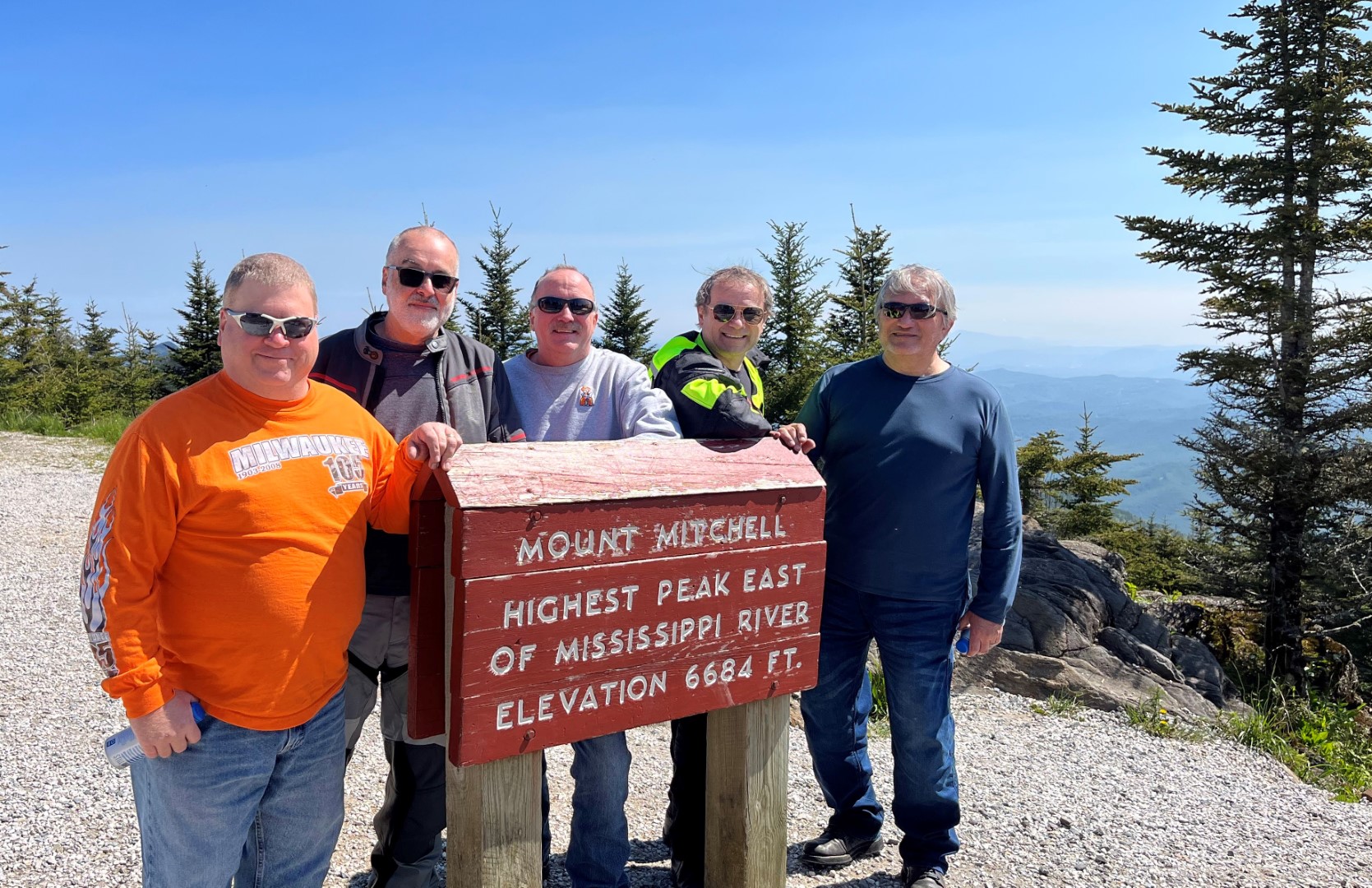
On the first Saturday of November, three riders headed for the mountains to chase fall colors, and they caught them! Larry, Mel and Kevin (new-to-us, great to have you, Kevin) took the fast lane up, then branched off to ride the Richard Russell Scenic Parkway (really shoulda’ stopped for a pic!). We report back that colors are great in the mountains… the highest elevations (like Hogpen Gap on the Richard Russell and Brasstown Bald) are just a bit past peak so don’t delay visiting them. All the mid-elevations are great and will peak this coming week. And the lower elevations aren’t too far off as well. Make time to take time in the coming weeks to visit – you won’t regret it.
Although their start was surprisingly foggy, it lifted quickly to a full-sun day. There were some crowds, but not as much as expected. And if you can visit during the week, you’ll be golden! Wolf Pen Gap was thoroughly enjoyable as always. The guys rested a bit at TWO in Suches,
...September 2024 - A Taste of Fall
In early September, three riders enjoyed a welcome “early taste of fall”. In unseasonably cool temps, Larry, Dan and Dennis met in Ball Ground before heading up to the N Ga mountains. But first they enjoyed meeting a fellow on his way to a car show with his beautiful muscle car – a ’70 Buick GSX (real one, not cloned, 455 Stage I Ram Air!)

After tearing themselves away and apologizing for all the drool on his car, they layered up and headed up casual old favorites like Grandview, Sunrise and Doublehead Gap roads to the always-pleasant Van Zandt’s for a break. As they were about to leave, a large riding group of 11 (mostly new, high-end euro bikes!) arrived. It quickly became
...


